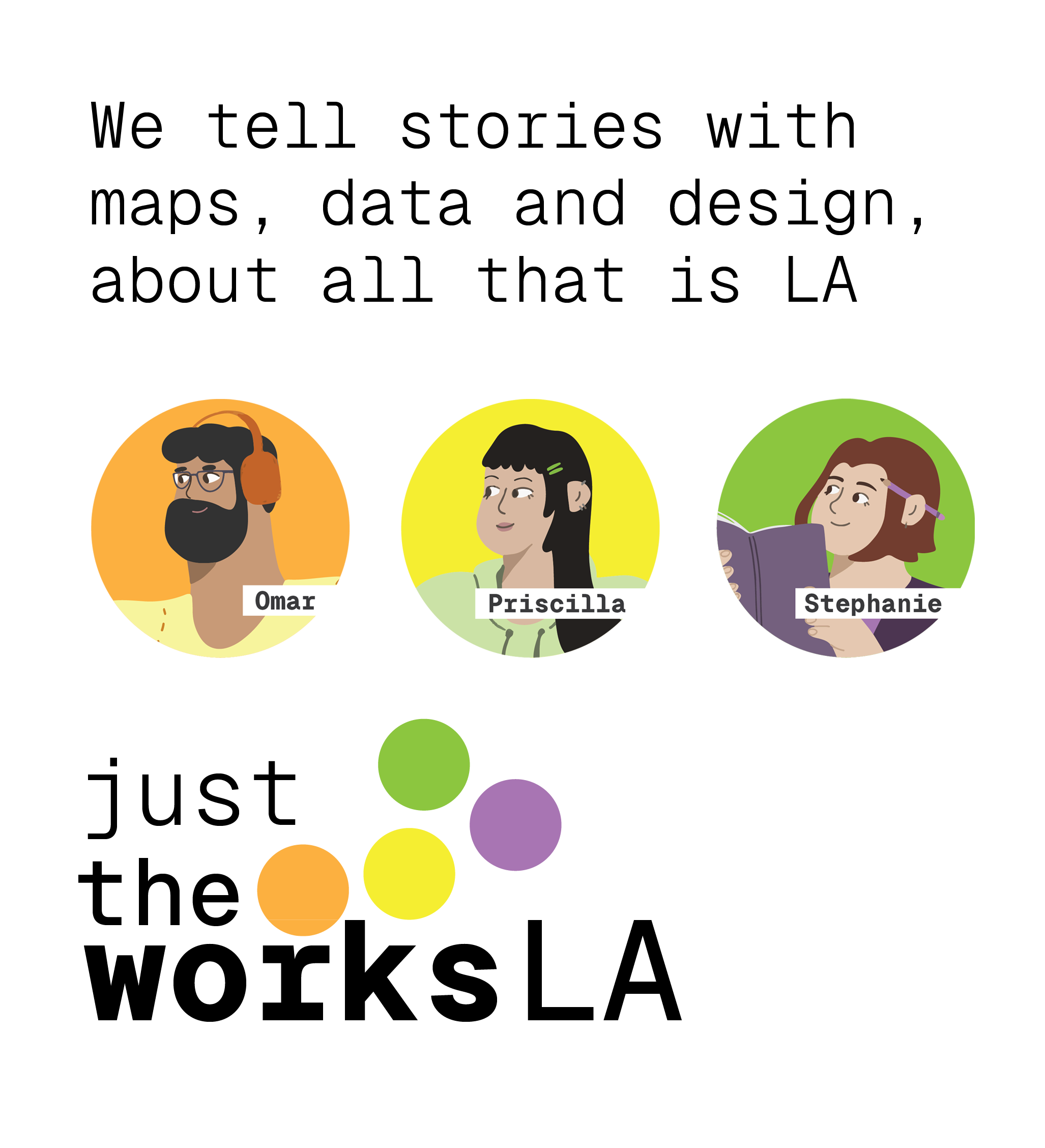
theworksLA team
Omar Ureta | Designer / Developer | Instagram | Linkedin
Past urban designer by day and civic hacker by night, now merging the two.
Omar works with data about all that is Los Angeles through maps, graphics and popular education. From identifying industrial facilities and their effects on communities to finding where all the tacos are in the city, there's many stories to share.
Many of the tools are built with free and open source software, to which Omar shares his knowledge and skills to anyone looking to make their own with maptimeLA, an open learning environment for all levels and degrees of knowledge, offering intentional educational support for the beginner.
Priscilla Hernandez | Illustrator
Priscilla Hernandez is a Graphic Designer from Los Angeles. Recently receiving her BA in Psychology and Studio Art, she has had the opportunity to explore multiple art media under various lenses.
Her art and design reflect the faces and values of her community. As an artist, she has had the opportunity to create visuals for the movement, tackling imagery regarding housing reform, eco-artivism and immigration advocacy.
As an emerging graphic artist, she hopes to bring culture, heritage and warmth to the digital world.
Stephanie Ivy | Storyteller
Stephanie Ivy is an artist from Los Angeles. Exploring mixed mediums and currently working on a degree in storyboard animation, Stephanie brings storytelling as a way to bring together art, data and community.
Work
Data | Maps | Tools
Hover or tap on the image for info
PSR SCLA PUSH POP ed community mapping
POP ED! HEAT LA Homes. - PSR-LA
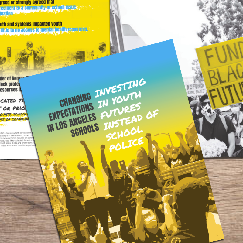
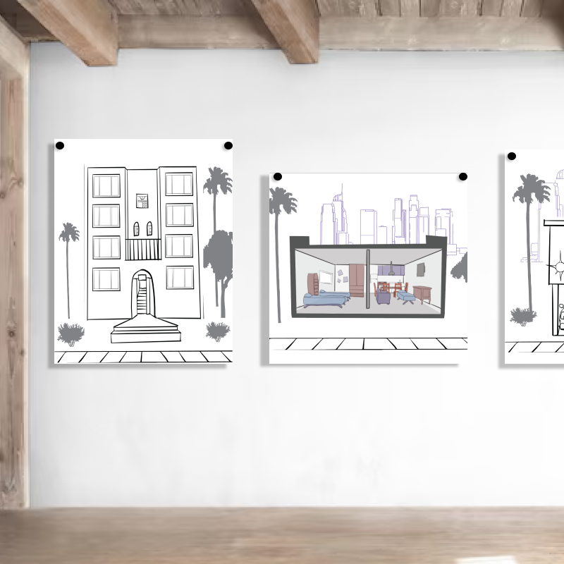
Investing in Youth - Brothers, Sons, Selves (BSS)
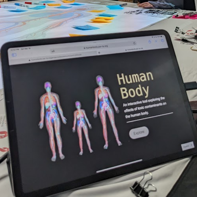
POP ED! Human Body Workshop - PSR-LA
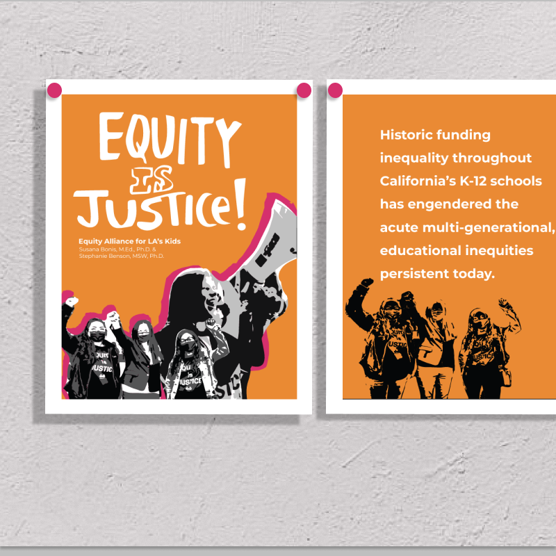
Equity is Justice - Dr. Susana Bonis
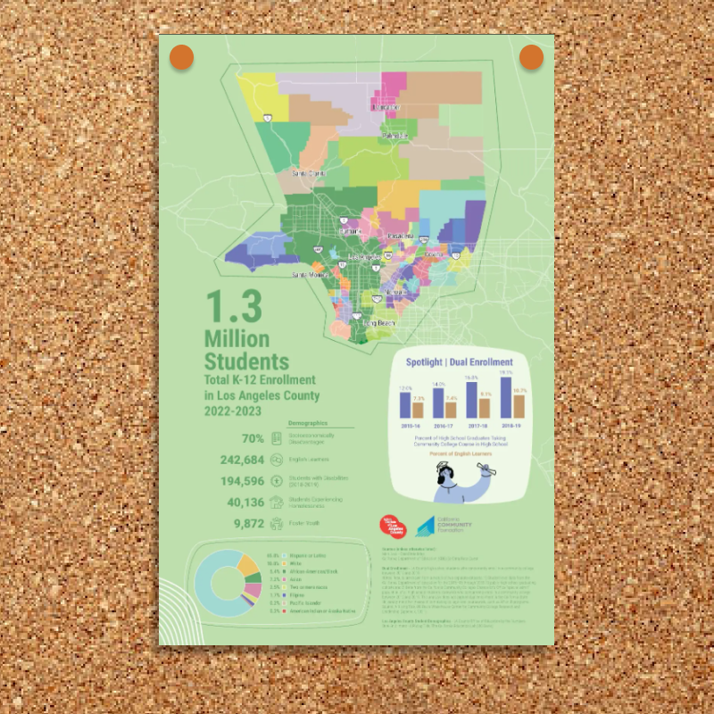
School District Map - CCF
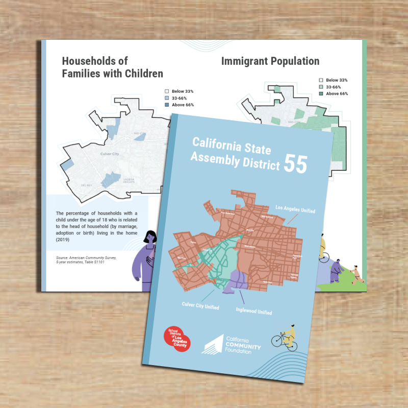
School District Zines - CCF
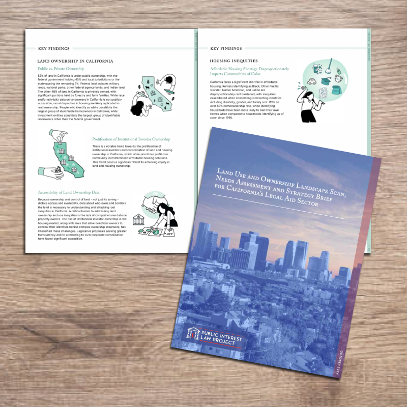
Landuse - Public Interest Law Project
POP ED! In Our Neighborhood - PSR-LA
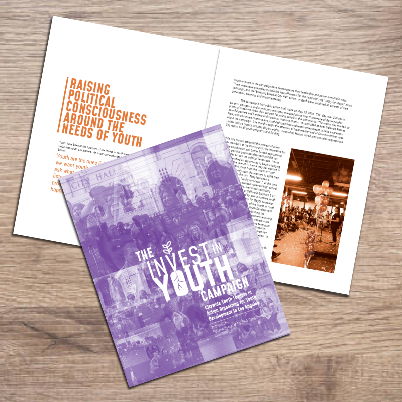
Invest in Youth - Dr. Susana Bonis
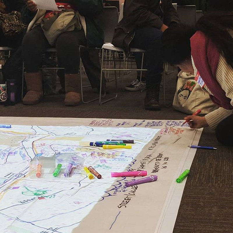
FELT community
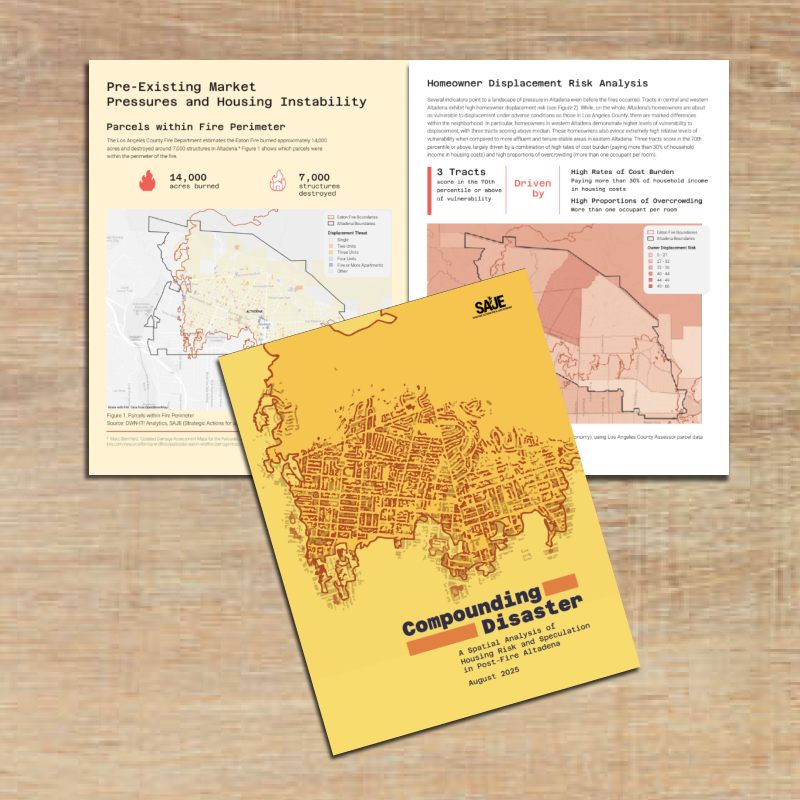
Compunding Disaster - SAJE and Inclusive Action
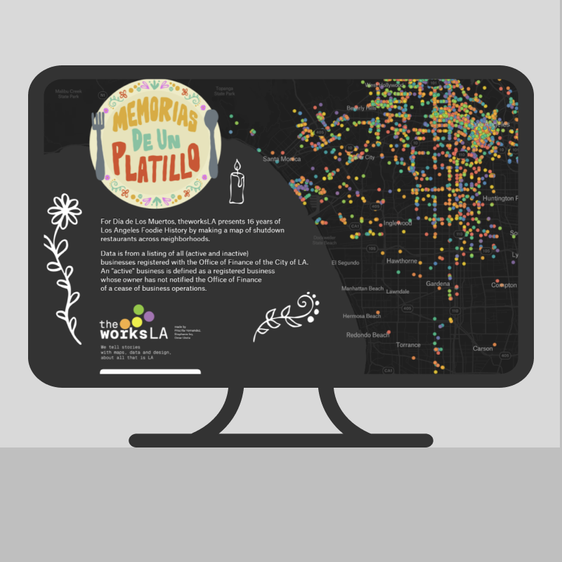
Memorias de un Platillo
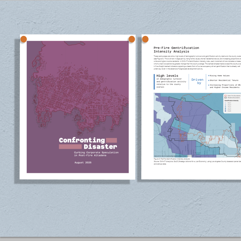
Disaster Capitalism in Altadena - SAJE and Inclusive Action
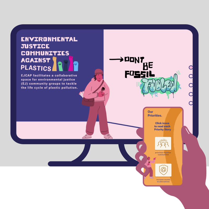
EJCAP Website! - PSR-LA
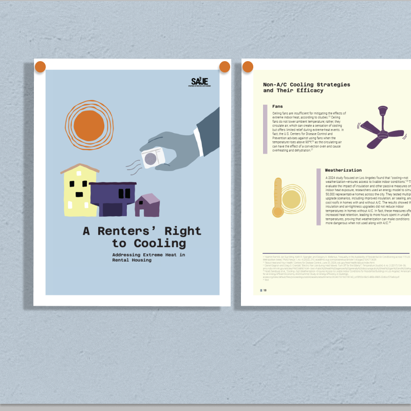
Renters right to cooling - SAJE
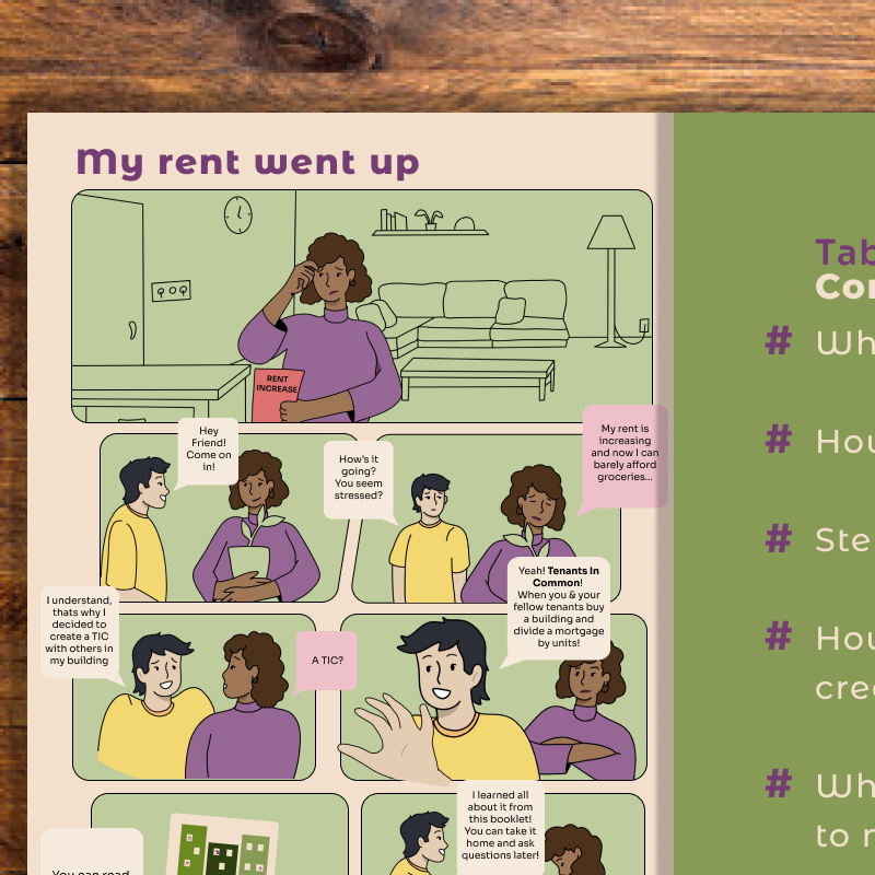
Tenants In Common - Trust South LA
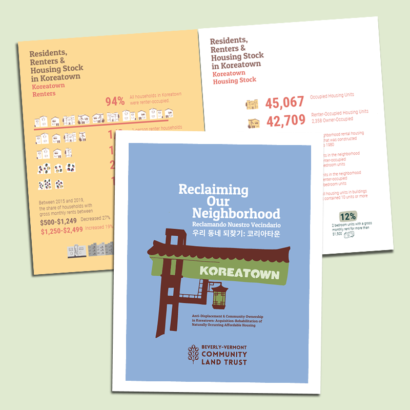
Reclaiming Our Neighborhood - Beverly Vermont Community Land Trust
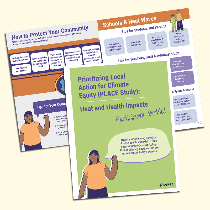
Keeping it Cool - PSR-LA
Ghost Towns of Los Angeles
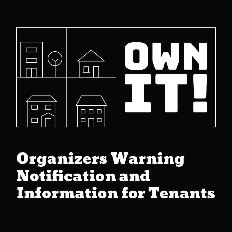
OWN-IT! - SAJE
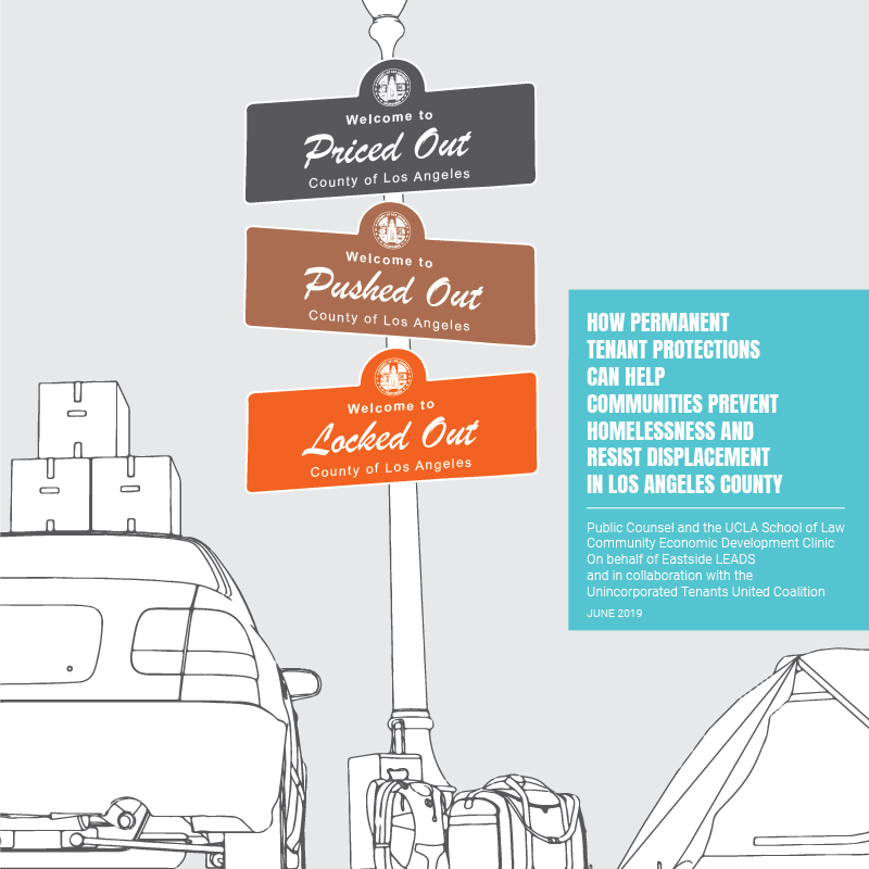
Priced Out, Pushed Out, Locked Out - Liberty Hill
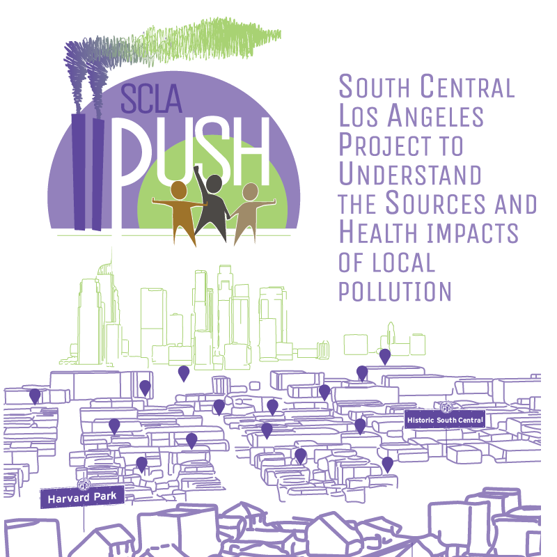
SCLA PUSH - PSRLA
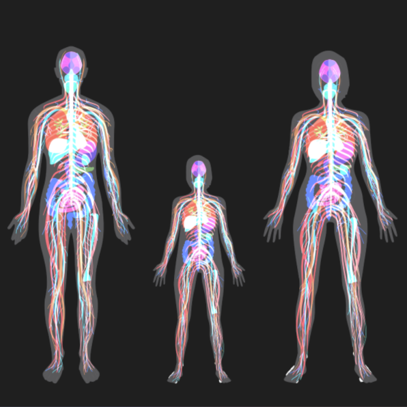
Human Body Tool - PSRLA
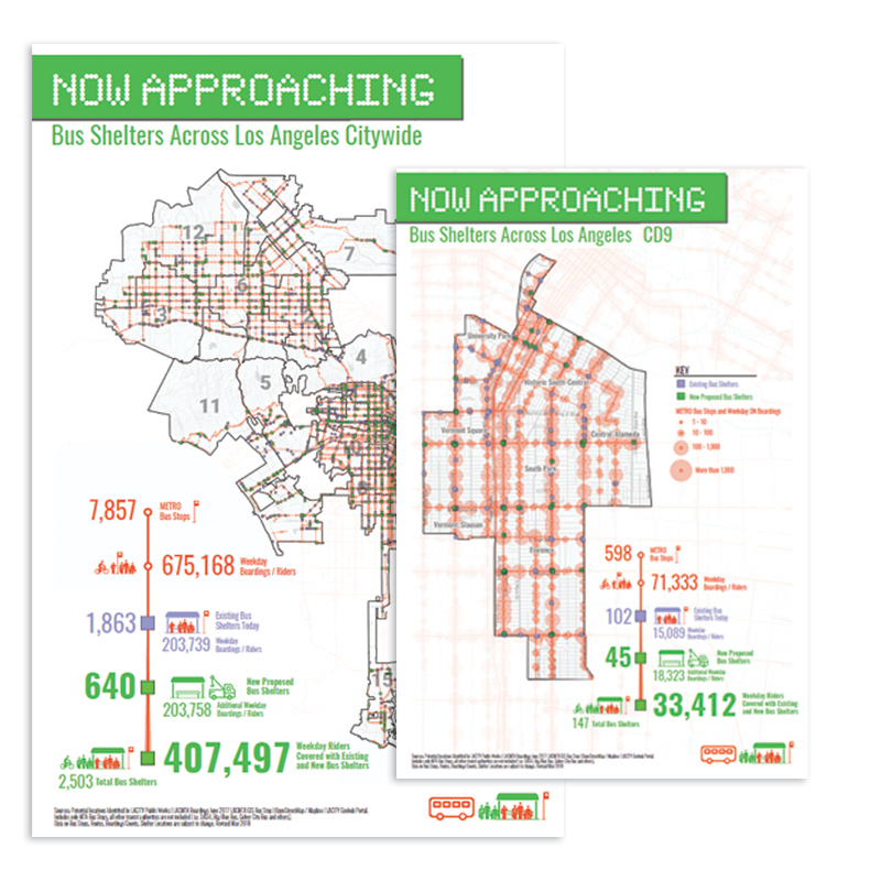
Now Approaching - Outfront|JCDecaux
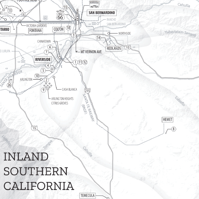
Inland Southern California - Collisions at the Crossroads, by Genevieve Carpio
Projection Mapping - Eastside LEADS
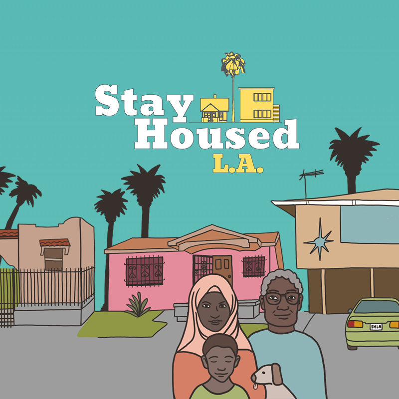
Stayhoused L.A.
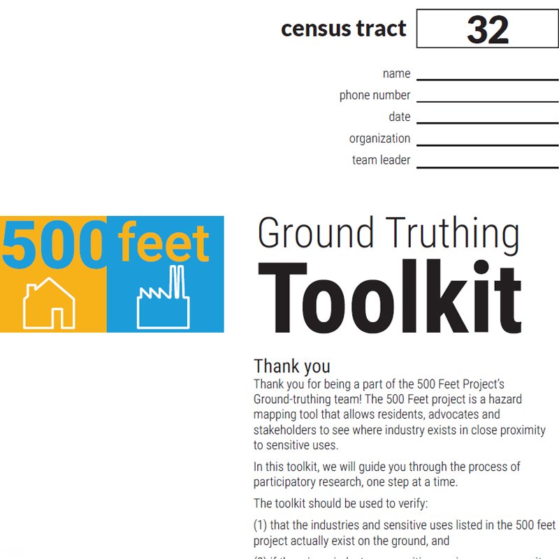
Groundtruthing Toolkit - PSRLA
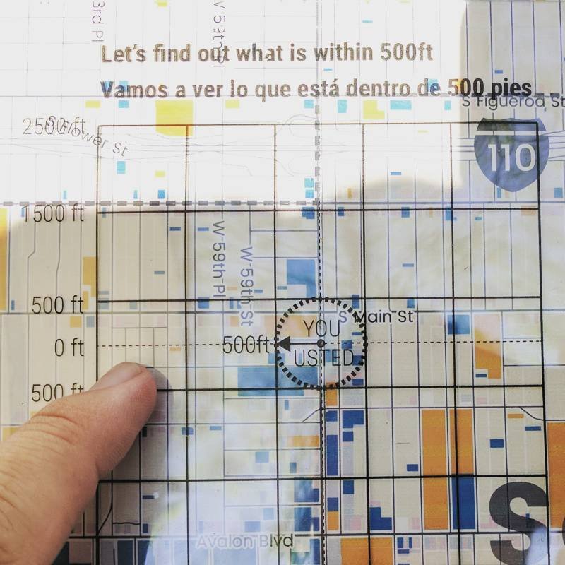
Let's Find it Tool - PSRLA
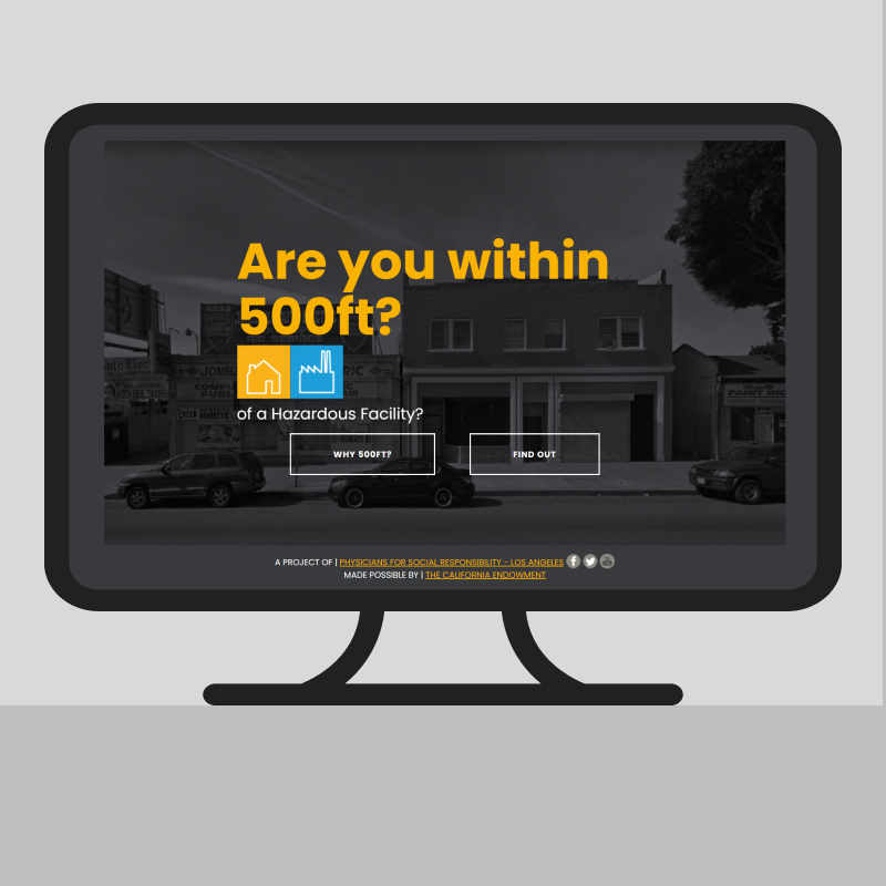
500ft Webmap - PSRLA
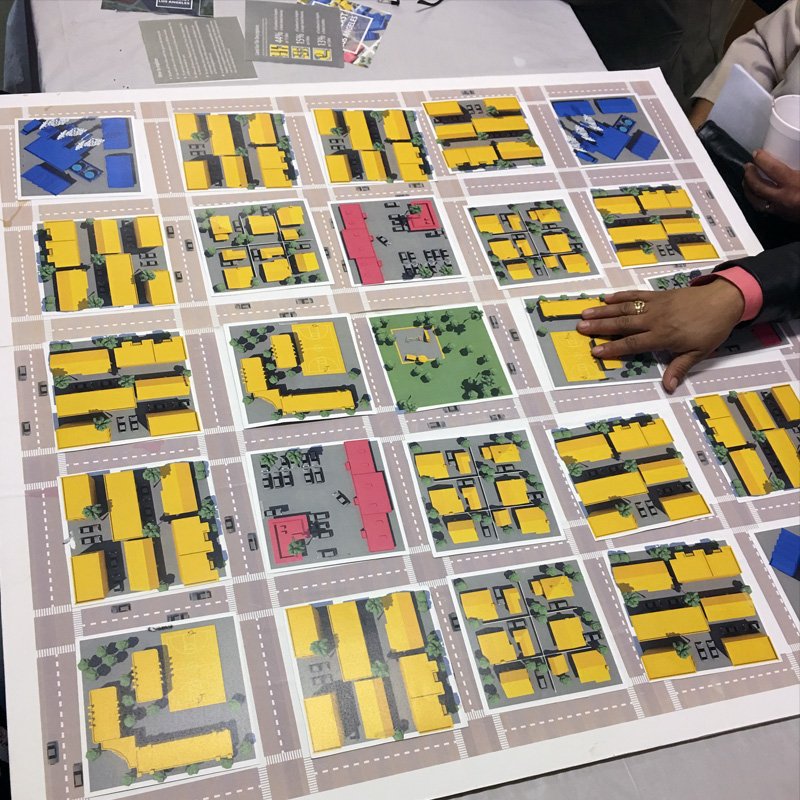
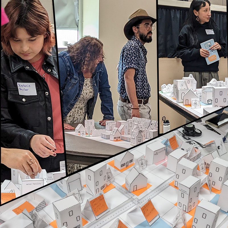
Land Use Game - PSRLA
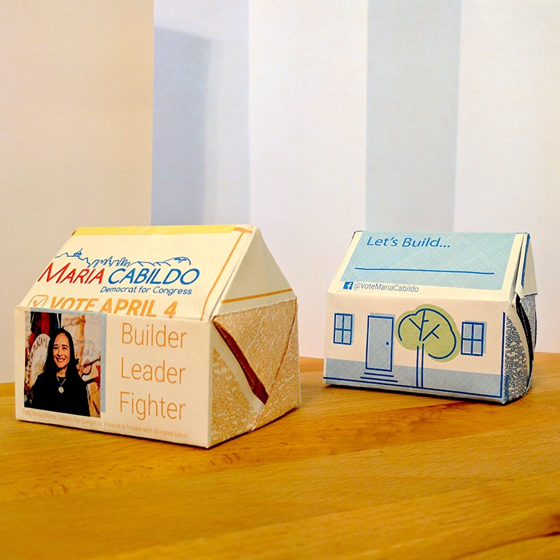
Little Houses
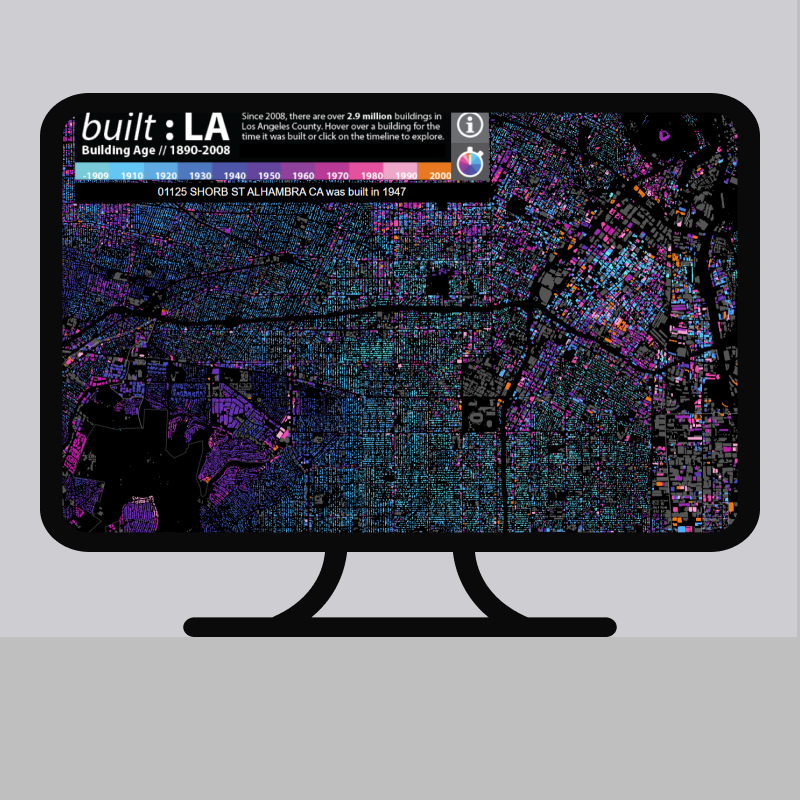
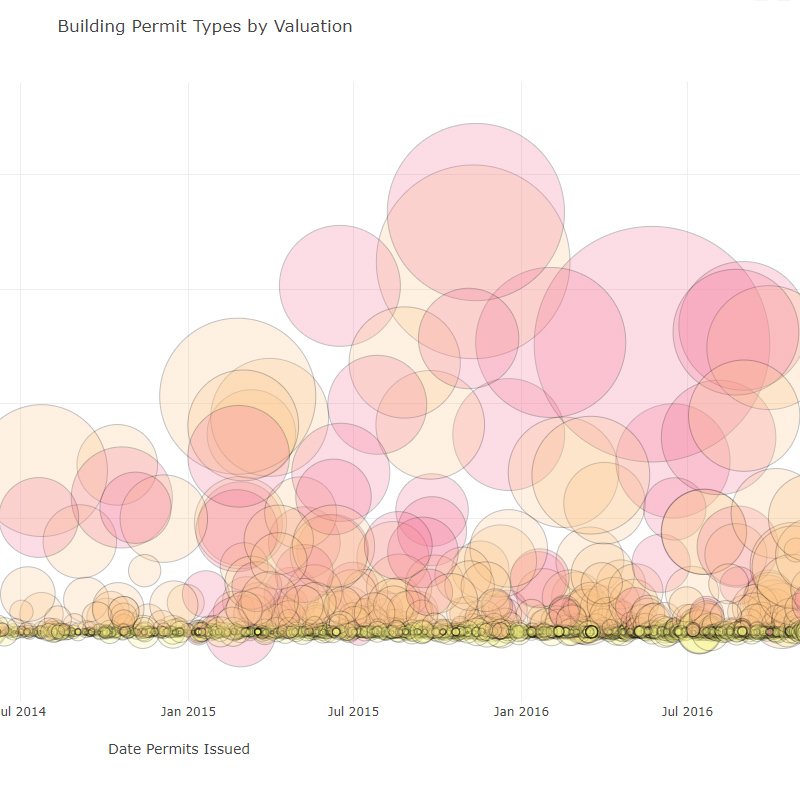
BuiltLA Webmap
Neverbuilt LA : Griffith Park Nature Center - A&D Museum
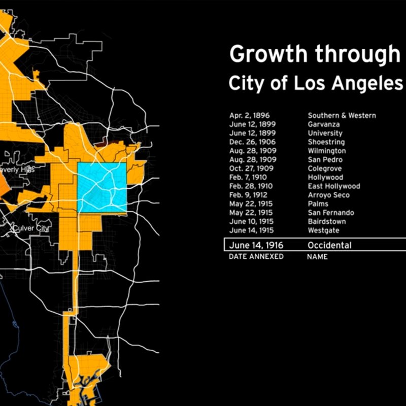
Windshield Perspectives: LA Growth Animation - A&D Museum
Explorations
Maps and data visualizations exploring Southern California, one section at a time.
Hover or tap on the image for info

Just Fires Across LA
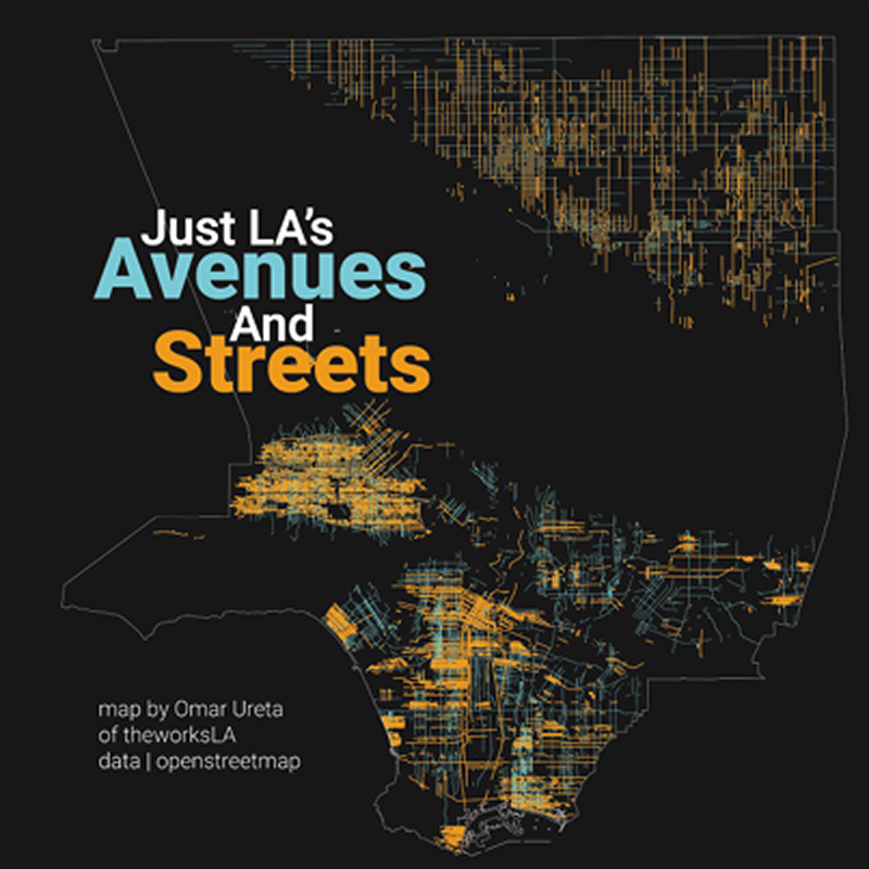
Just LA's Streets and Avenues
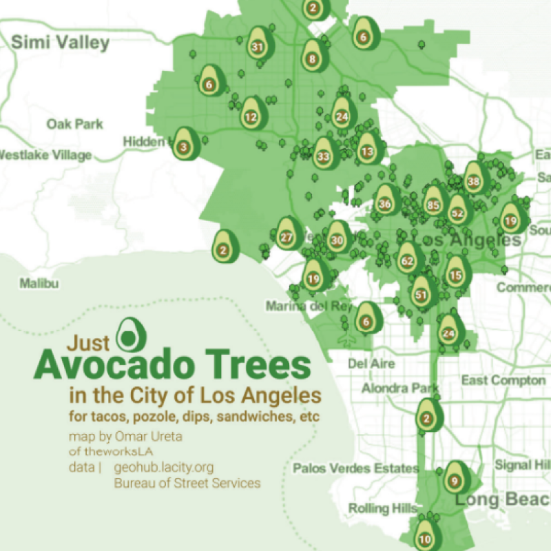
Just Avocado Trees in LA
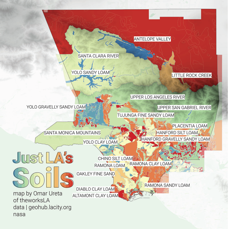
Just LA's Soils
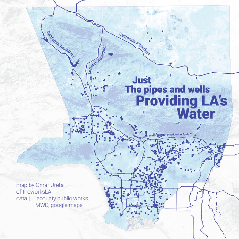
Just the Pipes and Wells Providing LA's Water
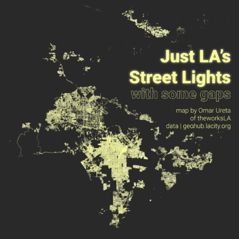
Just LA's Street LIghts, with some gaps
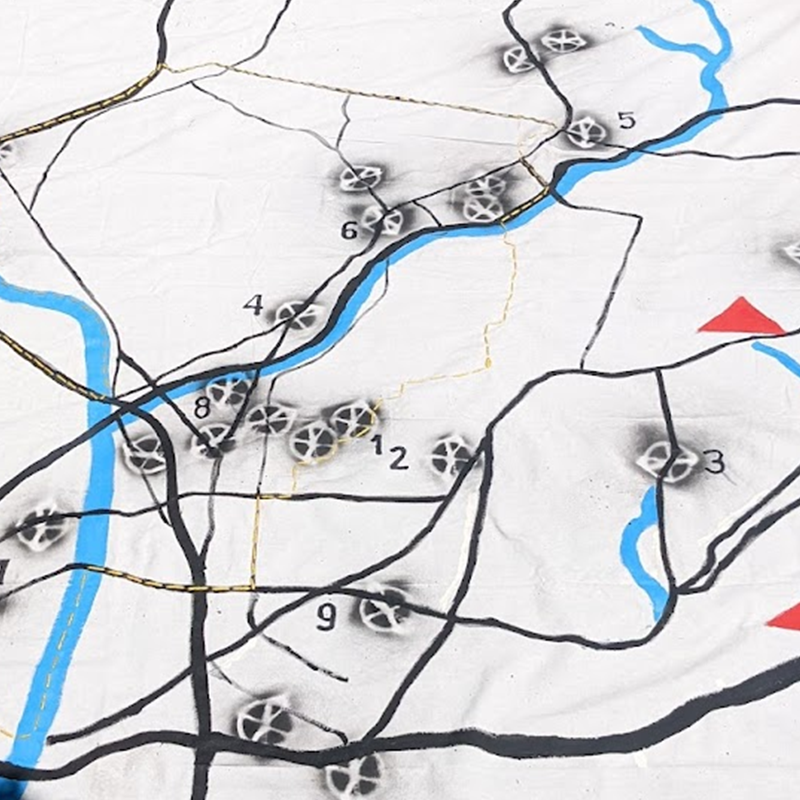
The talking map
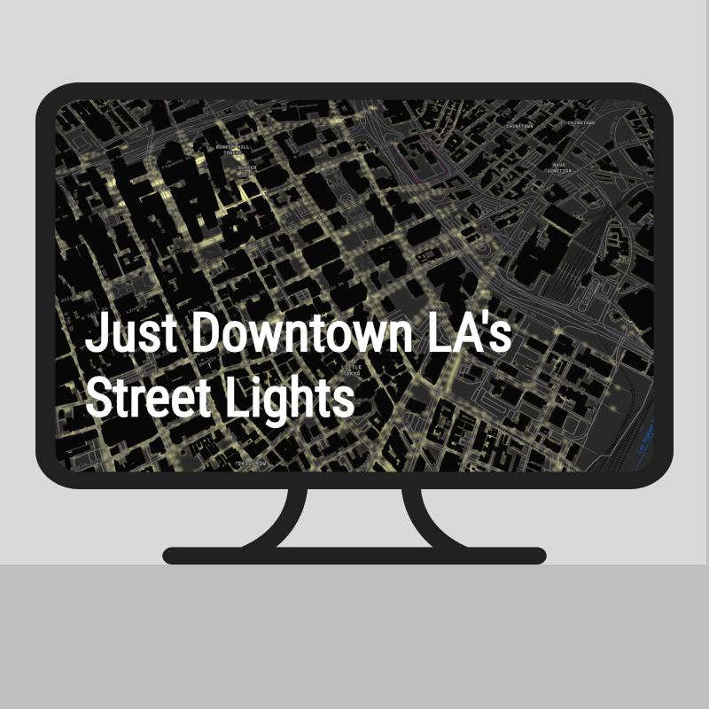
Just Downtown LA's Street Lights
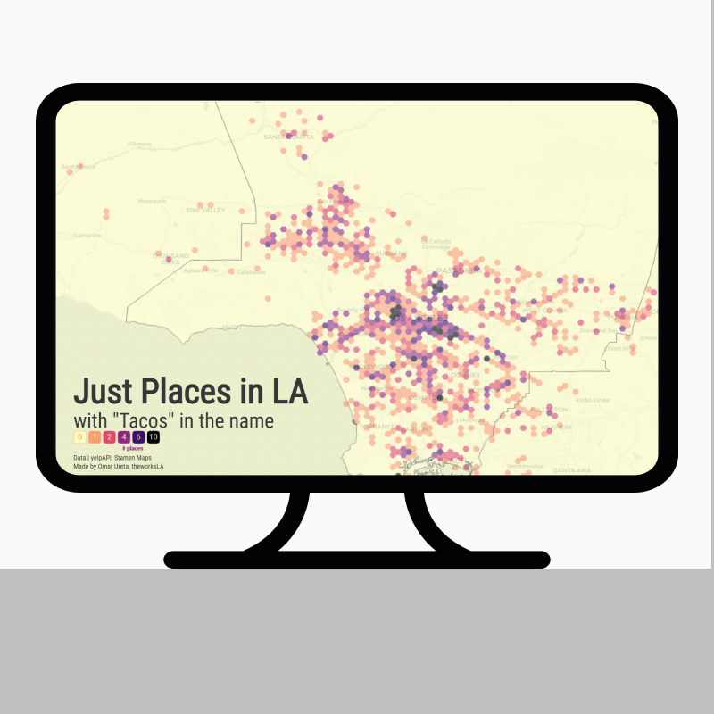
Just Places in LA with tacos in the name
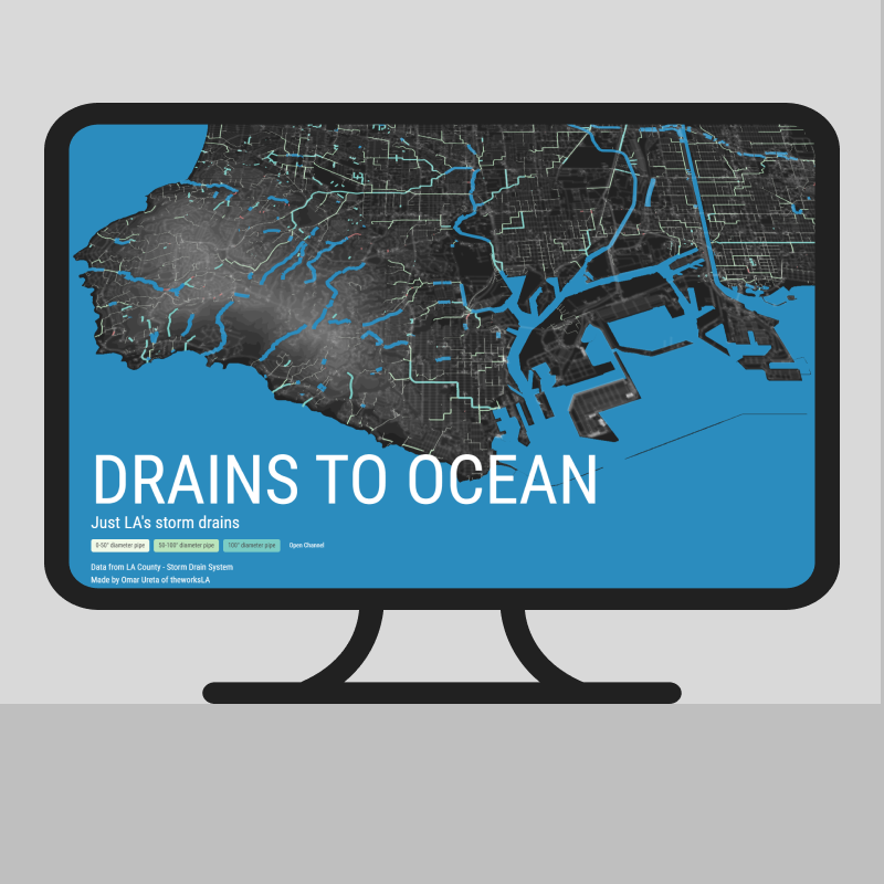
Drains to Ocean
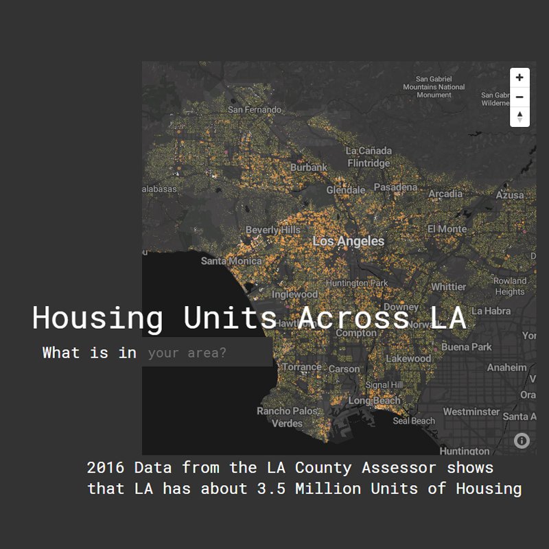
Housing Units Across LA
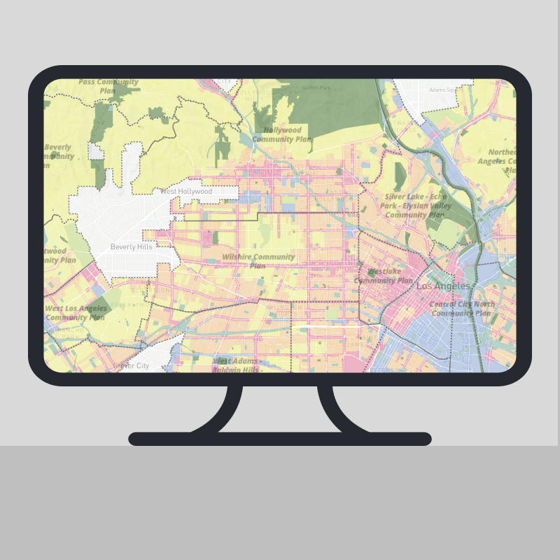
Not really ZIMAS
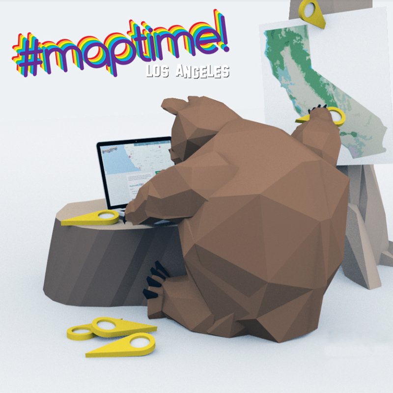
Maptime Bear
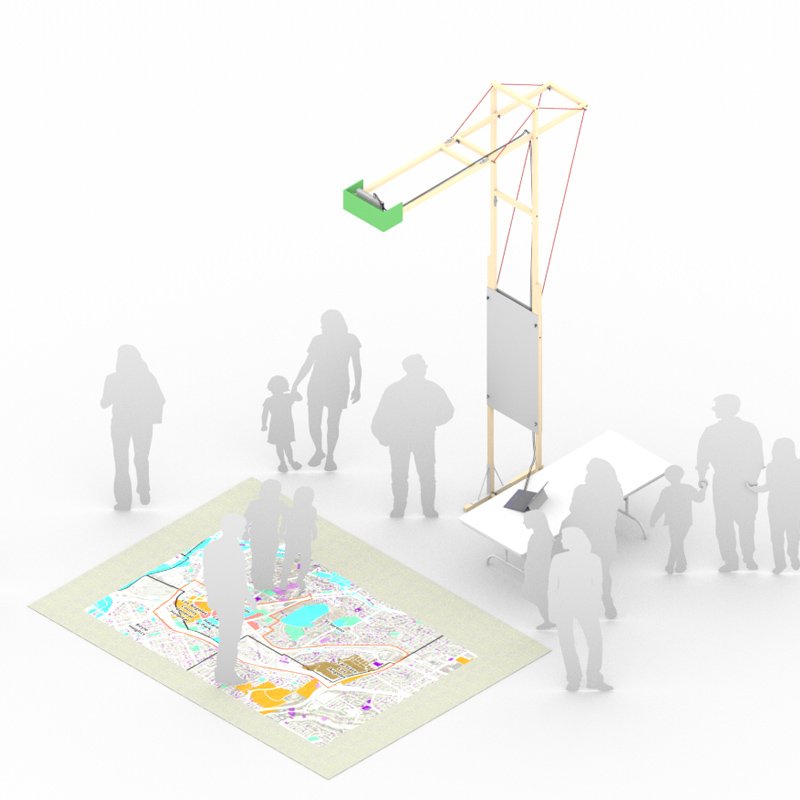
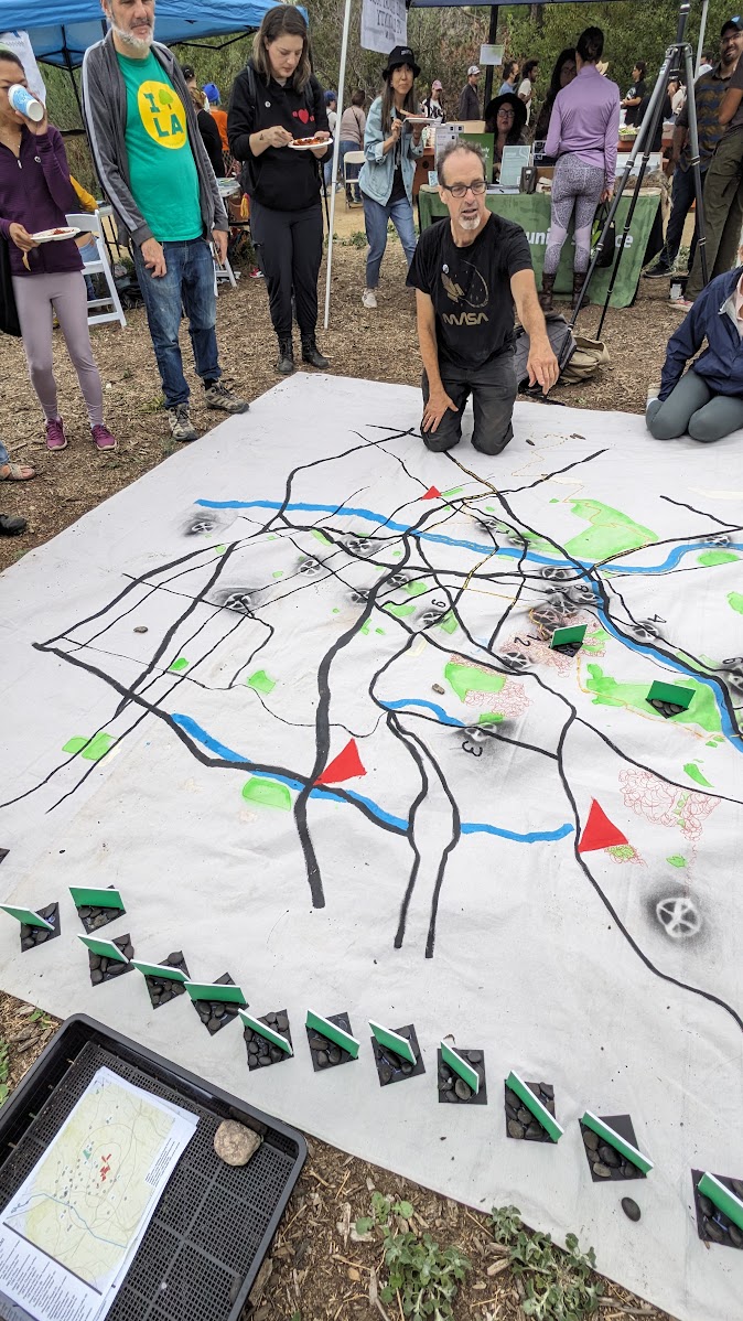
Map Projection Stand